3D technologies and spatial AI applications in archaeology
Transforming Archaeological Documentation: The Role of 3D Technologies
3D technologies have experienced rapid growth in recent years, becoming more accessible and advanced than ever. Historical and archaeological research also benefits from the various possibilities inherent in 3D processing.
These technologies allow old map digitization with AI tools as well as optimal documentation of excavation sites: areas that were covered or destroyed for various reasons after excavation will continue to exist in virtual space for future research, enabling researchers from around the world to tour and study the virtual site.
In addition to large-scale documentation, 3D technologies are often used for analysis of small scaled objects such as botanic findings, pottery sherds, metal pieces, and many others.
Innovative Tools for 3D Data Collection: Photogrammetry, Lidar, and 3D Cameras
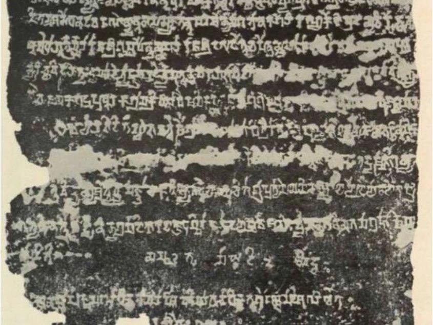
3D models have numerous applications in archaeology: they can be integrated into Geographic Information Systems (GIS), used for simulations, artifacts typology creation, architecture reconstructions, and more. Advanced AI tools are also allowing to read cuneiform inscriptions (see here).
The processing of various 3D models incorporates artificial intelligence applications for element classification and map creation, as detailed below. 3D technologies enable accurate and reliable documentation of objects of various sizes, from small artifacts to entire land areas and sites.
Data collection technologies are diverse but generally fall into three different sensing types:
Photogrammetry
The first sensing tool is documentation using standard images, converting them into a 3D model by stitching them together. This process is called 'photogrammetry,' and it allows to create stunning results using standard cameras.
Photogrammetry can be performed using images from a regular camera (even cellphone will do the work), a drone camera, or a combination of both. Advanced photogrammetry can provide the possibility of creating a fairly accurate model, which can be anchored to a coordinate grid. Such a model constitutes high-level documentation and is frequently used to document archaeological sites that are about to be destroyed or covered.
Additionally, processed GNSS (commonly called GPS) information can be integrated to the model and upgrade its accuracy. Advanced application of reference points in photogrammetric model can create a model with accuracy error of less than one centimeter.

Lidar (laser sensor tool)
The second tool is documentation using a laser sensor called Lidar. This technology can be operated using handheld devices, such as dedicated sensors or advanced smartphones equipped with a Lidar sensor, as well as using a sensor mounted on a special drone capable of carrying its weight. Lidar scanning provides a point cloud sampled during the sensor operation, with very high accuracy. The great advantage of Lidar scanning is its accuracy, speed, and the ability to map spaces and structures.
Additionally, since it is based on laser technology, it does not require an external light source, making it operable underground and in dark conditions. It is used for archaeological purposes in burial caves, for example, in order to provide accurate features measurements in an efficient way.
In the last few years this technology went turned to be much more affordable and easy to use: Lidar sensors are known to the public for their use in robotic vacuum cleaners and Apple devices (for face recognition and artifacts scanning). Moreover, many autonomous cars being developed these days base their environmental analysis on Lidar technologies.

3D camera
The third tool is a 3D camera. Essentially, it consists of two different lenses mounted at a fixed distance and angle from each other, and by comparing the images obtained from them, a 3D image very similar to the one perceived by the human brain can be created. The clear advantage of this technology is the combination of high accuracy and high-quality visual output, even on a smaller scale.
In addition to its usage among researchers, particularly for analyzing small-dimension objects such as grains for botanical morphology classification, it has become popular in the bio-tech industry for teeth and jaw modeling as it supplies accurate models in a very short time, what makes it attractive to laboratory environments use.
However, this technology has limitations in spatial analysis and performs poorly in broad daylight.

AI for Enhanced Spatial Analysis and Reconstruction
In addition to documentation, 3D technology allows for computerized processing of findings and sites. This provides a range of advanced possibilities for creating accurate reconstructions without the use of hand-drawing.
Computerized reconstructions can include various elements of texture and color, which can be easily replaced. For example, several different reconstructions of human faces can be proposed, all based on the same physical finding.
3D models originating from Lidar scanning or photogrammetry can be further processed using artificial intelligence technologies by classifying elements into groups (such as structures, vegetation, terrain, etc.), an analysis that allows for the virtual reconstruction of ground height even in built-up areas (DTM - Digital Terrain Model).
You can find more information about the Point Cloud Classification process [Here] and about AI algorithms for this purpose [here]. Another application of artificial intelligence in spatial analysis of historical sites is converting outdated maps into vector polygons using a dedicated plugin in QGIS software.
The tool allows for semi-automatic tracking with the help of an artificial intelligence image processing engine of scanned maps, recreating the information in advanced tools that can be analyzed in Geographic Information Systems.

Conclusion
3D technologies and AI tools for spatial analysis in the field of archaeology, both for research and for educational purposes. Its efficiency, accuracy and ease of use make it available to a variety of users, redefining the archaeological science with these advanced tools.
More than that, 3D applications in the field of archaeology are helping to make it wide-spread, accessible not only for scholars and researchers, but also for the wide public. 3D models and AI applications are integrated in online courses like this one, applying interactive learning approaches to the students, making the history available to anyone with internet connection.


